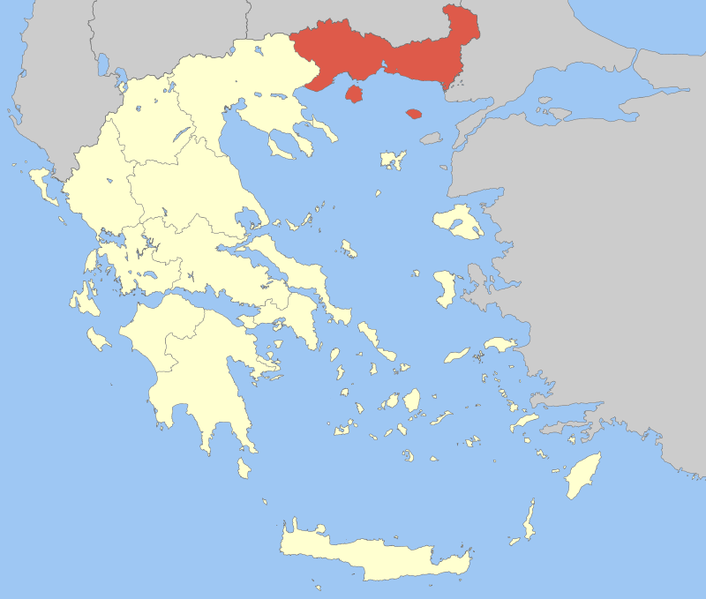
File:Periferia Anatolikis Makedonias ke Thrakis.png
外觀

預覽大小:706 × 599 像素。 其他解析度:283 × 240 像素 | 566 × 480 像素。
原始檔案 (800 × 679 像素,檔案大小:91 KB,MIME 類型:image/png)
檔案歷史
點選日期/時間以檢視該時間的檔案版本。
| 日期/時間 | 縮圖 | 尺寸 | 使用者 | 備註 | |
|---|---|---|---|---|---|
| 目前 | 2008年4月5日 (六) 11:43 |  | 800 × 679(91 KB) | Pitichinaccio | {{Information |Description=Locator Map of East Makedonia and Thrace Periphery, Greece |Source=eigene Arbeit |Date=April 5, 2008 |Author= Pitichinaccio }} {{PD-self}} Category:Periphery maps of Greece |
檔案用途
下列14個頁面有用到此檔案:
全域檔案使用狀況
以下其他 wiki 使用了這個檔案:
- ay.wikipedia.org 的使用狀況
- az.wikipedia.org 的使用狀況
- da.wikipedia.org 的使用狀況
- de.wikipedia.org 的使用狀況
- el.wikipedia.org 的使用狀況
- en.wikipedia.org 的使用狀況
- Abdera, Thrace
- Thasos
- Samothrace
- Kavala
- Drama, Greece
- Eastern Macedonia and Thrace
- Evros (regional unit)
- Rhodope (regional unit)
- Xanthi
- Didymoteicho
- Alexandroupolis
- Drama (regional unit)
- Kavala (regional unit)
- Komotini
- Orestiada
- Xanthi (regional unit)
- Kato Nevrokopi
- Prosotsani
- Doxato
- Paranesti
- Soufli
- Pangaio
- Myki, Greece
- Topeiros
- Arriana
- Iasmos
- 1990 Komotini events
- Template:Eastern Macedonia and Thrace
- Nestos (municipality)
- Maroneia-Sapes
- User:Chickstarr404/Gather lists/9857 – Patrick Leigh Fermor: An Adventure by Artemis Cooper
- User:Resident of Greece
- es.wikipedia.org 的使用狀況
- fa.wikipedia.org 的使用狀況
- fr.wikipedia.org 的使用狀況
檢視此檔案的更多全域使用狀況。

