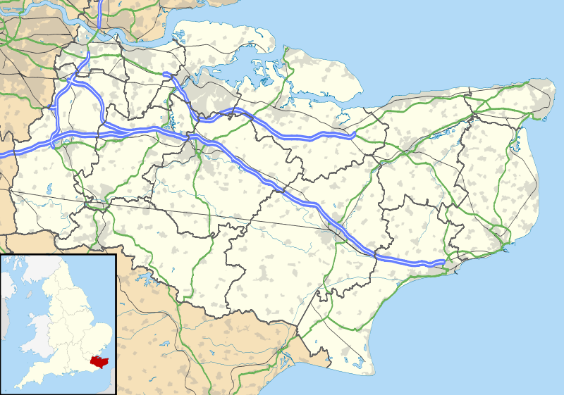
File:Kent UK location map.svg
外观

此SVG文件的PNG预览的大小:800 × 561像素。 其他分辨率:320 × 225像素 | 640 × 449像素 | 1,024 × 719像素 | 1,280 × 898像素 | 2,560 × 1,796像素 | 1,425 × 1,000像素。
原始文件 (SVG文件,尺寸为1,425 × 1,000像素,文件大小:2.11 MB)
文件历史
点击某个日期/时间查看对应时刻的文件。
| 日期/时间 | 缩略图 | 大小 | 用户 | 备注 | |
|---|---|---|---|---|---|
| 当前 | 2010年9月26日 (日) 18:58 |  | 1,425 × 1,000(2.11 MB) | Nilfanion | {{Information |Description=Map of Kent, UK with the following information shown: *Administrative borders *Coastline, lakes and rivers *Roads and railways *Urban areas Equirectangular map projection on WGS 84 datum, with N/S stretched 160% Geo |
文件用途
以下10个页面使用本文件:
全域文件用途
以下其他wiki使用此文件:
- ar.wikipedia.org上的用途
- bg.wikipedia.org上的用途
- br.wikipedia.org上的用途
- ca.wikipedia.org上的用途
- ceb.wikipedia.org上的用途
- cs.wikipedia.org上的用途
- cy.wikipedia.org上的用途
- el.wikipedia.org上的用途
- en.wikipedia.org上的用途
- Lullingstone Roman Villa
- Dover
- Canterbury
- Chatham, Kent
- Dartford Crossing
- Hever Castle
- Sandwich, Kent
- Folkestone
- Minster-in-Thanet
- Aylesford
- Maidstone
- Rochester, Kent
- Snodland
- Romney Marsh
- Dover Castle
- Walmer Castle
- Walmer
- Wye, Kent
- Isle of Sheppey
- Bedgebury National Pinetum
- Gravesend
- Eythorne
- Ramsgate
- Herne Bay
- Sevenoaks
- Tonbridge
- Stansted, Kent
- Royal Tunbridge Wells
- Ashford, Kent
- Broadstairs
- Hythe, Kent
- Queenborough
- New Romney
- Whitstable
- Otford
- Paddock Wood
- Knole
- Lydd
查看此文件的更多全域用途。

